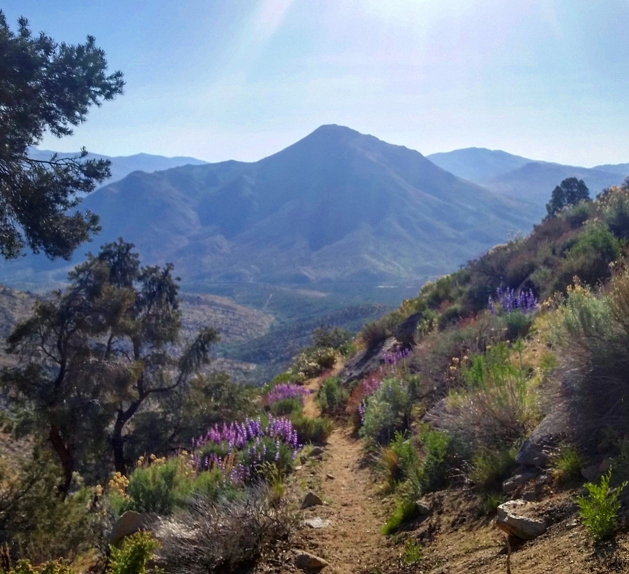

That night, Steve got enough cell phone signal to check his voicemail. The voicemail was important enough for us to decide to go into town early to return the call. Steve woke up a little queasy from the rough day we had the day before, but we only had 4 miles to the alledged water cache and a possible road to town. We hiked through the desert morning, through the spring bloom of the flowers. All in all, a good morning.

We saw our first bear track of the trail, just outside our campsite. We then ran into a southbound hiker who told us the water cache, that had 90 gallons at it 3 days prior, had nothing left. Yes, we know we can’t rely on a water cache as they are not a natural source of water and are dependent on the time, money, and effort of trail angel volunteers, but it seemed like it was a well established water cache, so we hadn’t worried about it running out.

We arrived at the water cache to find mostly empty jugs scattered about. But we consolidated the remnants of the jugs to compile about 9 gallons of water. Since we had already decided we were going to exit trail at that crossroad, we only took enough to keep us hydrated as we road walked to the nearest town. We knew we had a long road ahead of us, but it was our quickest opportunity to get to cell service so Steve to return the call from voicemail.

We played & chatted as we hiked through the hot desert, mooing at cows in the adjacent pastures, pirate fighting with our trekking poles. A single vehicle passed at one point, asking for directions to the trail, and said if we were still walking the road when they finished their day hike, they would give us a ride to town.

So we kept walking, passing a few sun bathing snakes & a huge feisty bee hive, until we reached a commune of homes. We saw someone was in the yard, so we asked if they would be available to give us a ride to town. Fortunately, she was expecting her sister at any moment & she was able to give us a ride to the main highway. And thank goodness she did! As we drove and drove and drove, the road was going on and on and on. We discussed local politics of the native community she was a part of and how that played into current society. We learned quite a bit about the tribe history along the way.

She took us to the local general store where we could get information about the County Transit System, as well as get a snack and drink while we waited for the bus. The Kern County Transit was only a few dollars a piece to ride across the range to the town of Ridgecrest, so we waited for the bus rather than try hitching. It gave Steve time to make his phone calls and me time to start finding a place to stay.
Some of the locals hanging out at the store told us to make sure we were at that bus stop when it was time for it to arrive because the driver drove very fast and won’t stop unless you are right there. So we followed their directions and caught the bus with no problem. The problem came when we realized not only did he drive fast, but he drove very recklessly. I understand they have a schedule to keep, but this was out of hand. We felt so unsafe, we were examining the bus for the nearest emergency exits and pondering whether they would work or not. After our experience in Laos, one has to question even the simplest ideas, like if an emergency hatch is bolted down or not. Then after passing on a double-yellow blind curve, we were over this bus ride. Never again would we ride that route.

Our first priority, as usual, was getting to the post office on time. After acquiring our package, lunch was next on the agenda. But dang, had the temperature changed from the mountains to the flat land! Our day went up about 20 degrees as we came down a few thousand feet. It wasn’t until we were walking to our food destination that we passed the sign about Death Valley being nearby and it all made sense why it was now 100°.

With no word from the local trail angel, we booked a room online, only to find out that hotel no longer existed. After calling the booking company and the hotel to complain, we booked a new option almost within our budget. We were able to get most of our errands done that evening which included buying a few new odds and ends of gear, as well as exploring new options for a Body Glide alternative. We ended up at the local bike shop for some Chamois butter, which was my attempt at crossing over my cycling knowledge with Steve’s hiking needs.

We decided we needed another day in town to finish up errands and give Steve more time in cell service to sort out his family matters. He had a pretty emotionally exhausting day, so I finished our grocery shopping, and in doing so, ran into the trio of Aussies who we hadn’t seen for several hundreds of miles. They were doing well and still going strong, and catching a movie that afternoon once their chores were done. We opted out for an evening of hotel TV and pizza delivery.

The following morning we checked out with the intention of heading back to trail. We parked ourselves across the street in a grassy corner park, as we had several hours before the bus of death would be going back to Walker Pass, where we’d pick up the trail. I attempted to hitchhike with our new bandanas to pass the time, but to no avail. We lounged in the park & scrolled social media where we could see other hikers’ posts about entering the Sierras. That reminded us we should probably check the snow conditions ahead of us.

The NOAA snow report showed a vibrantly colored Sierra Nevada mountain range, which translates into very snow-covered. We thoroughly weighed our options regarding our snow skills and the complexity of the snow terrain in the mountains, and rather quickly decided we didn’t want to enter the Sierras at this time. Even if we were confident in our mountaineering skills, having cold wet feet for 10 days at a time did not sound appealing to me. I want to enjoy this trail as much as possible and being miserable in that much snow wasn’t the way to accomplish that goal.

Thus began our research for flipping over the Sierras. North of Tahoe looked to be mostly snow-free so we figured if we skipped the Sierras and bounced up to north of Tahoe, we would continue to hike North for the month of May and into June, then as “Rey Day” approached (the ‘historically optimal date’ to enter the Sierras, when snow should be at a minimum, but yet early enough to reach Canada before snow is bad in Washington), we would flip back down to where we were now near Kennedy Meadows, and hike North through the Sierras, through a significantly less white landscape.

We still had packages to pick up in Kennedy Meadows, but they wouldn’t be arriving for a couple days, so we decided to rent a car so we’d have the ability to drive to Kennedy Meadows to retrieve our packages before driving North to Truckee. We were able to connect with the local Trail Angels, Erica and Jason, who invited us to stay at their home for the weekend while we waited on packages in Kennedy Meadows. Erica has been hosting hikers for a few years and her home has been dubbed the “Sand Trap”, as many hikers plan to stay for a night or two, and end up staying three or four or more.

We enjoyed playing with her four puppy dogs (and by puppy I mean miniature horse-sized Mastiffs). She also has rabbits & goats in their backyard in town. They treated us to a homemade rooster curry, freshly acquired from their country home where they have a cow, chickens, turkeys, goats, and pigs, all in an effort to work towards a farm-to-table lifestyle.

Erica provided loads of information of things for us to do over the weekend since we had a vehicle but were stuck waiting for mail. So while some of our friends were in the process of summitting the highest peak in the continental United States, we went to visit the lowest point in the continental United States: Death Valley.

We were welcomed into the park by two separate, overly-friendly coyotes, who were clearly professionals at conning people into breaking the “Never feed Wildlife” rule. As we drove down the mountain, we slowed for the coyote that was crossing the road ahead of us. As we slowed, it approached the passenger side door with those puppy dog eyes, begging for a handout.

We snapped a few photos of our close encounter before getting out to scare it off to help break this habit of approaching people. This happened again 20 miles up the road. This time a park ranger pulled over at the same time. He said he has to chase these coyotes off multiple times a day, trying to re-educate them people are not a source of food and roads are dangerous.

We took a nice cruise through the park, stopping at a few landmarks along the way. We checked out the Spires and the sand dunes, climbing, rolling, playing, & photographing the landscaping as we went. But by the time we got to the other side of the park, the Visitor Center was closed.

Death Valley NP is the largest national park in the continental US, so driving through it took quite a while. But we could still see the thermometer to tell us we are at the hottest place in the United States, where it was 96 degrees at 7 p.m. in early May. The hottest temperatures recorded are typically in July, but this was plenty toasty for me.

The sun was setting so set off for our final goal of the official lowest spot in North America at 282 feet below sea level, Badwater Basin. As we stood at the spot, we could turn around to look up on the cliff side where a sign was placed that marked sea level, showing just how low we actually were.

Death Valley is recognized as an International Dark Sky location, so we were hoping to capture some stellar starry night sky photographs while out on the salt flats. But nature does what it wants and instead we watched the clouds roll in as the sun set. We took that as our queue to head home.


Pleasure meeting you today in Loomis! Enjoy the trail:)
LikeLike